Reply To:
Name - Reply Comment

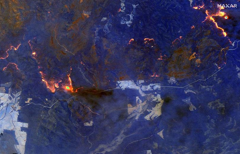
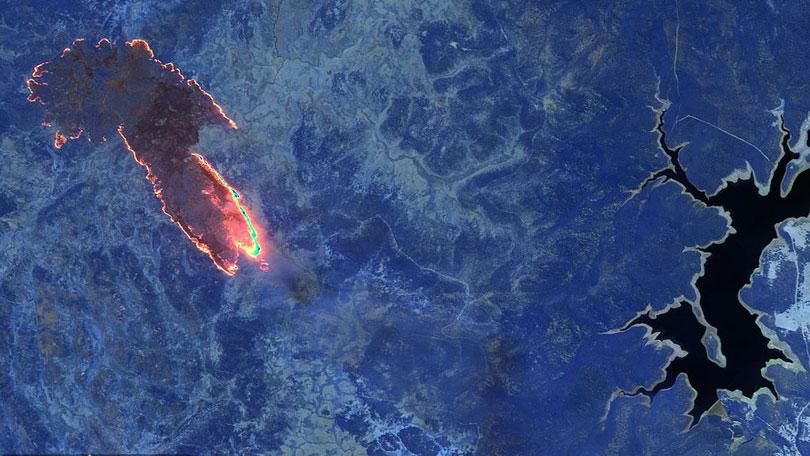
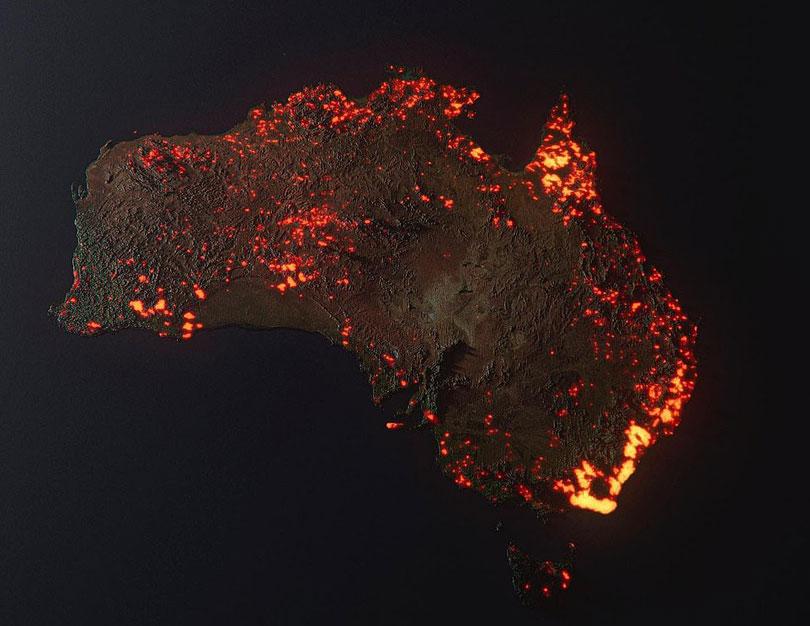
A graphic has revealed the true extent bushfire devastation across Australia, as experts warn the worst is yet to come.
The composite was made using data from NASA's satellites and shows where bushfires ravaged the nation between December 5 last year and January 5.
The brightest spots on the graphic are in New South Wales and Victoria, where more than 2,000 homes have been damaged or destroyed by the raging infernos. (Daily Mail)


