12 Oct 2024 - {{hitsCtrl.values.hits}}
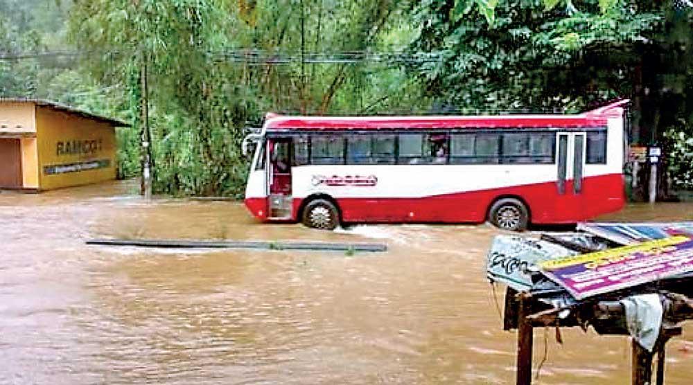
A bus on a submerged road
By Yohan Perera and Leenah Wahab
The complicated weather conditions which Sri Lanka is experiencing currently has led to a flood threat, according to the disaster management authorities.
Director General Department of Meteorology Athula Karunanayake told Daily Mirror that there is a complicated situation when it comes to weather in Sri Lanka currently.
“Sri Lanka is currently located in inter tropical convergence zone where winds from northern and southern hemispheres meet. Sri Lanka is also facing an atmospheric disturbance. In addition, Sri Lanka is currently in an inter-monsoon period. All these situations bring heavy showers which could be as high as 200mm,” Mr. Karunanayake said.
“Sri Lanka has also experienced high-intensity rains during the past few days. You experience sudden splashes of rain because of the high intensity. However, intensity seemed to have reduced as many areas only experienced drizzles on Thursday evening,” he added.
He said the rains might reduce during the coming days as the atmospheric disturbance could move away from Sri Lanka. We only expect a rainfall of 100 mm across the island during the coming days,” he also said.
However. Mr. Karunanayake stressed that Hurricane Milton which has hit the Western part of the world has no effect on Sri Lanka.
The Disaster Management Centre (DMC) warned of flood threats in Kalutara, Gampaha, and Colombo Districts as water levels of Kelani, Kalu, Gin and Nilwala rivers were rising.
Meanwhile, the National Building Research Organisation (NBRO) issued landslide warnings for Badulla, Galle, Colombo, Gampaha, Kalutara, Kegalle, Kurunegala, Matara, Nuwara Eliya and Ratnapura Districts.
Director General Irrigation Department of Sri Lanka, Eng. A. Gunasekara said the landslide warning has been issued based on rainfall reports submitted by the Meteorological Department and flood level statistics recorded by the Irrigation Department. “Monitoring stations include the Kalu Ganga, where we record the flood levels. These are converted to flood volumes and are measured using rating curves,” he said. Mr. Gunasekara also said the landslide may potentially result in reducing water quality, which may adversely affect farmers. “There is no way to prevent it, what people can do is not damage the environment by deforestation and unauthorised logging that causes soil erosion and land saturation” he said.
In another development, one person went missing when he tried to cross a bridge in Nawagamuwa last morning.
18 Dec 2024 25 minute ago
18 Dec 2024 38 minute ago
18 Dec 2024 1 hours ago
18 Dec 2024 1 hours ago
18 Dec 2024 2 hours ago