06 Jan 2023 - {{hitsCtrl.values.hits}}

The MOBILISE project, funded by the Global Challenges Research Fund (GCRF) in the UK, is creating a digital infrastructure that can provide information to several agencies to collaborate in order to lessen the effect of natural catastrophes on communities in Sri Lanka.
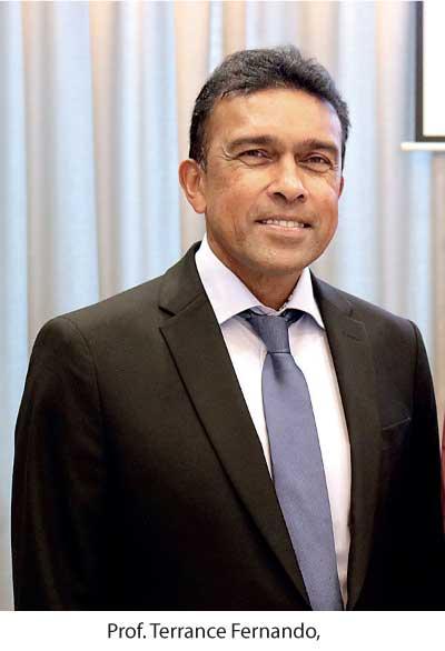
Prof. Terrance Fernando, one of the prominent figures of the MOBILISE project speaking to Daily Mirror, said that the research-based with the MOBILISE project is conducted as a part of exploring the need in Sri Lanka for exploiting the potential of digital technology for understanding, communicating and reducing climate-induced local risks by engaging with local stakeholders and the communities. However, the research has found that fulfilling this need is challenging due to many barriers that exist in Sri Lanka, such as the lack of multi-agency collaboration processes and systems for implementing disaster risk reduction and adaptation measures, weak engagement with local communities in addressing local risks, lack of intelligence on the impact of potential climate-induced hazards due to the unavailability of relevant data and climate hazard simulation capabilities and the technical capacities of the staff.
“In 2017, the University of Salford (www.salford.ac.uk) was successful in securing research funds from the Global Challenges Research Funds in the UK to work with government organisations in Sri Lanka, Pakistan, and Malaysia to develop digital solutions for strengthening their capacity in building community resilience against natural disasters such as floods and landslides. To address the aforementioned barriers, the research team from the University of Salford joined up with the National Building Research Organisation (NBRO) in 2018 to co-develop technology solutions that can enhance multi-agency collaboration and community engagement in building resilience against climate-induced disasters. These novel technology solutions are now being piloted in the Kalutara District with the support of the Kalutara District Secretariat”, Prof. Fernando said.
 According to Prof. Terrance, as a part of the above-mentioned collaborative efforts, the team has now developed a series of digital solutions called MOBILISE Solutions. “For example, the MOBILISE Risk Explorer allows local stakeholders to combine scattered risk information across government agencies to establish a common understanding of the climate risks and use that knowledge for supporting risk-sensitive land use management and urban development policies.
MOBILISE: Scenario Generator allows local stakeholders to run possible hazard scenarios (floods or landslides) to identify at-risk communities and take measures for reducing the impact of hazards on communities. The Megha Community App helps communities receive early warnings, report hazard incidents to relevant organisations, and become active participants during disaster events. The Megha Multi-hazard Dashboard allows national and local agencies to receive intelligence from a range of sources to establish situational awareness of the changing weather, rainfall, river level, community intelligence, local risk profiles, etc.”, Prof. Terrance added.
Furthermore, Daily Mirror observed that there’s a myriad of benefits that come along with the MOBILISE project. Prof. Terrance further explained that MOBILISE solutions could connect scattered risk information, live weather information, hazard simulation services, experts from relevant government agencies, and local communities to engage in a collaborative approach to understanding climate risks and building local resilience against climate change. “However, the accuracy of the data processed by these digital solutions depends on the accuracy of the data that is being fed into the MOBILISE solutions. Therefore, it is important that data-gathering mechanisms are in place to continuously collect local information on the communities and physical and environmental assets to be used by the MOBILISE solutions. Furthermore, the sensors that collect information on river levels and rainfall need to be regularly maintained to ensure the availability and accuracy of data. In addition, the prediction of the impact of a hazard on the community depends on the accuracy of the simulation services used. Therefore the accuracy of the simulators used for floods and landslides needs to be validated with historical data etc.” Prof. Terrance added.
Furthermore, Prof. Terrance said that the technology had been handed over to the National Building Research Organisation, and further discussions are underway with the Disaster Management Centre, Meteorological Department, and the Irrigation Department to explore how these technologies can be further developed and implemented across Sri Lanka.
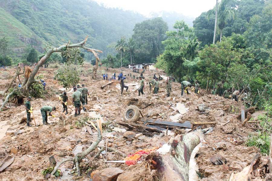
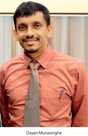
Dayan Munasinghe, Senior Scientist, Human Settlements planning and Training Division of the NBRO, also speaking to Daily Mirror, said that NBRO is engaged in the disaster risk management sector, especially in landslide hazard mitigation. NBRO identified landslide probability areas in the district, and the socio-economic survey was conducted in landslide high-hazard areas between 2016 to 2019. NBRO wanted to assess the disaster risk situation further and generate solutions to reduce the landslide risk in the community. Therefore NBRO developed a landslide risk index to prioritise the communities and identify suitable strategies for risk reduction. As a result, 30 GN (Grama Niladhari) divisions were identified as the initial step to conduct the community-based disaster risk management programmes.
According to Munasinghe, these programmes were conducted in the community, and they also identified community-related issues. He also said that two GN Divisions were selected to trial out MOBILISE project outputs and evaluate the user experiences. “NBRO experienced damage assessment in several landslide activities of Sri Lanka. A damage assessment methodology was developed with the consultation of different stakeholders, especially valuation experts, and it was applied to the landslide hazards in 2017. We extended similar thoughts to investigate climate change’s impact on economic crops. Climate change will trigger the landslide probability by increasing the rainfall levels, and these landslides impact land uses. In addition, the climate will impact the production of different crops. These changes primarily affected the estate workers, and their income will gradually change. Therefore, these communities require attention to cope with disasters in the future”
Moreover, Munasinghe said that every Divisional Secretariat Division (DSD) collects information on their local area and presents it as a report annually. “Various institutes use this data for the preparation of plans. The data has limited access and is not widely spread among various organisations. Mobilise system is planning to digitise resource profiles and share them among the stakeholder agencies. The system will help to identify the problems in the settlements by overlaying the different layers”, he added.
25 Nov 2024 42 minute ago
25 Nov 2024 1 hours ago
25 Nov 2024 1 hours ago
25 Nov 2024 2 hours ago
25 Nov 2024 2 hours ago